OVALAU (Viti Levu, Fiji)
10.2 Power place
Names
– Viti – The islanders still call the island “Viti”, and call their ancestors and themselves the “Kai Viti”.
– Fiji – The island was given the name “Fiji” by the people of Tonga.
Geomancy
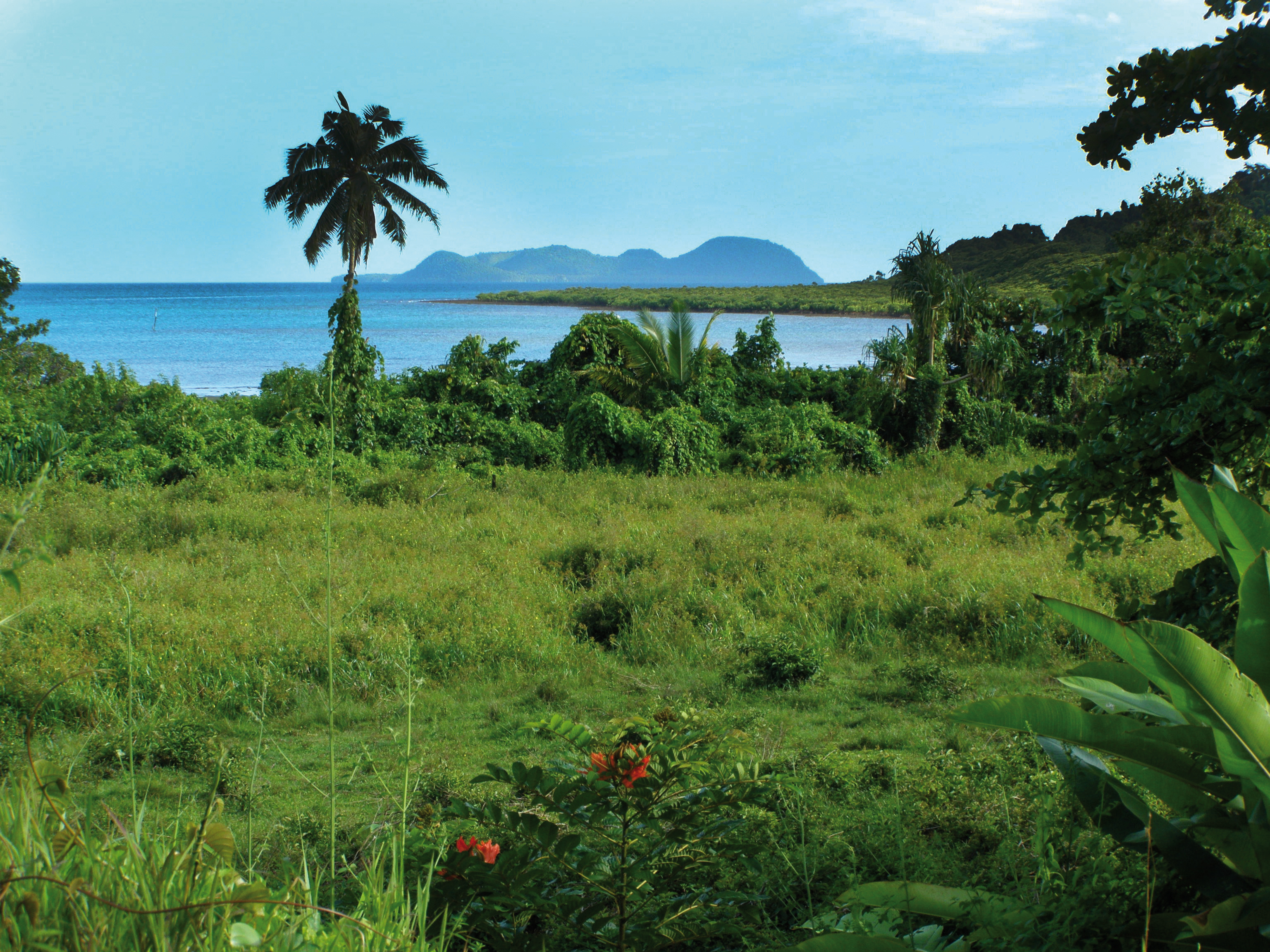
The landscape is dominated by the vastness of the sky and the sea.
The energies are airy, yet also earthy, due to the connection to the volcanoes that extend deep into the center of the earth.
Power point
Based on my research and the experience of journeying there in August 2008, I believe that the actual energy point lies in front of Ovalau, between the two large Fijian islands of Viti Levu and Vanua Levu. There, the “Temple of Peace” stood before the Nasaga, which is now underwater and connected to the discharge flow, which is why this temple area is still very powerful to this day. I also found the cave on Viti Levu and the underwater cave on Nanumaga/Tuvalu to be perceptible power places.
– Corresponds to: throat chakra, voice
– Color: light blue
– Dominant elements: earth and air
– Corresponding place: Shasta, USA
10.3 Structures
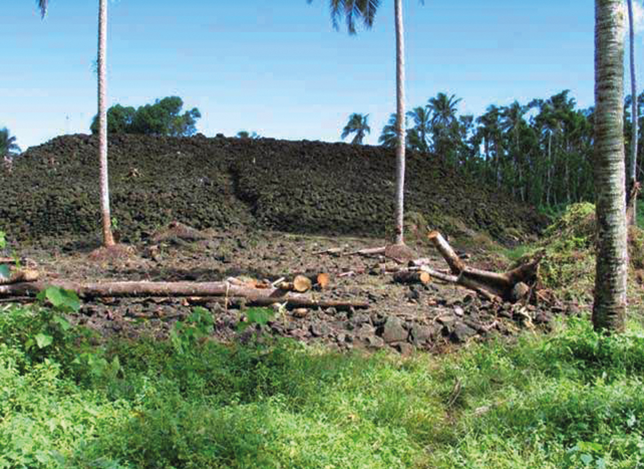
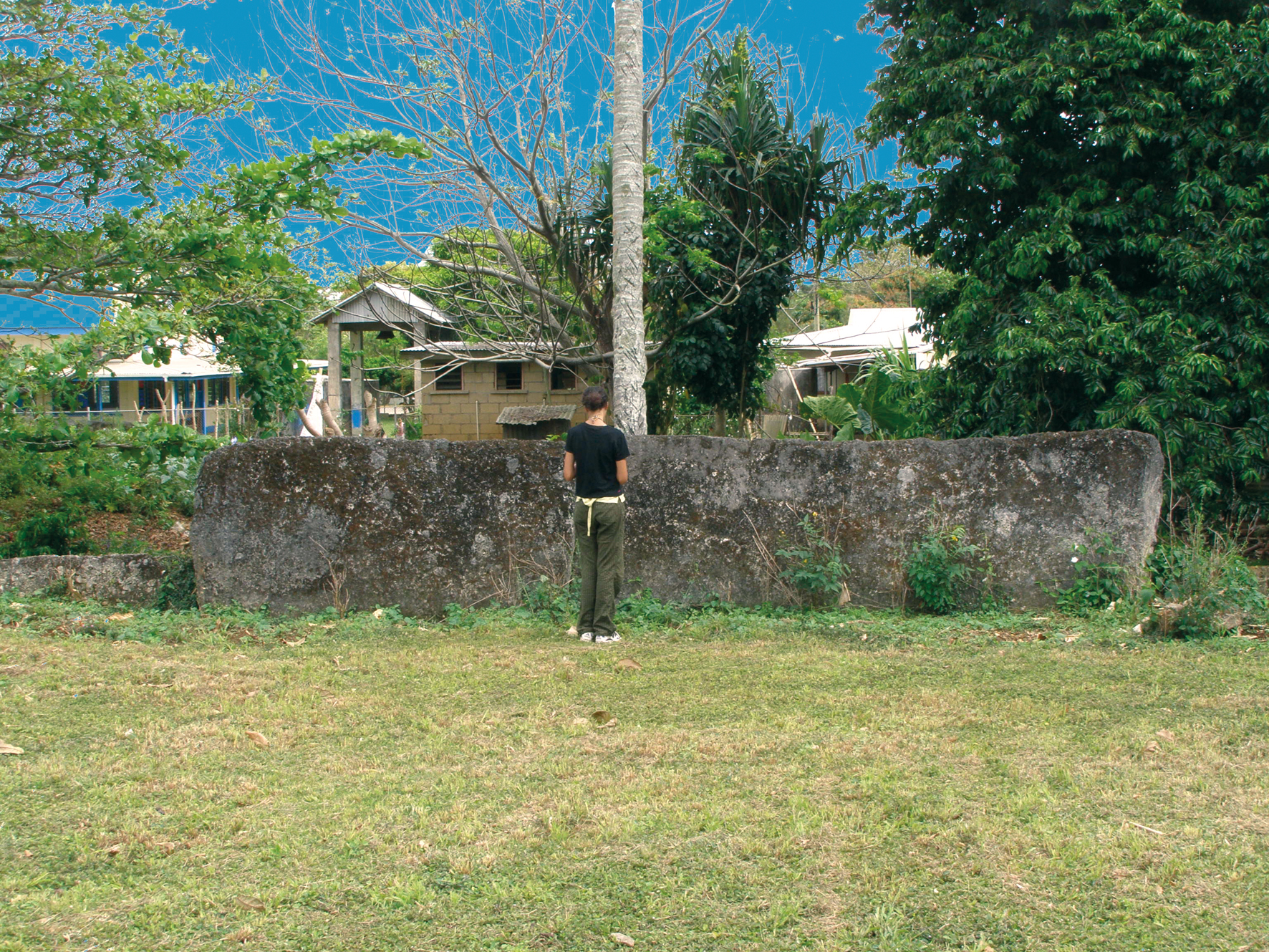
As on other Pacific islands, the Atlanteans’ ancient megalithic structures no longer stand here either, or still remain undiscovered below sea level.
However, in this Pacific region, some prehistoric structures, such as the pyramid of Samoa, the megalith gate and the langi tombs on Tonga and the tumuli on New Caledonia, are located above sea level and can be accessed.
Most of these structures are ascribed to the Lapita culture (see page 462), which I think may be true for the tumuli, but not for the other structures. That is because the Lapita only arrived later, starting around 1500 BC and discovered these sites and remaining buildings, which they revered and maintained.
Temple of Peace – Ovalau
Today, the intersection of this power place’s streams of energy is located underwater between Ovalau and Moturiki, which are two summits of the same mountain that remain above sea level. Some believe the intersection to be at Lovoni, a small village in the volcanic caldera of Ovalau.
The Temple of Peace was situated in front of Nasaga, which is underwater today. However, as previously mentioned, sea level used to be 50 to 60 meters lower and the temple was located in a valley between the two peaks.
Esoteric sources state that this temple is one of the few light havens of the spiritual hierarchy on the physical level – or material creation. Its symbol is thought to have been the ankh we know from the Egyptians.
“The temple is not located in the Realms of Aether, but in a vast cave inside a large mountain. No one knows where the entrance is, but serious-minded disciples of light will be guided there after undergoing a thorough examination by the spiritual guardians. These visitors will see a crystal palace […] Above the portal, which will automatically open itself to the visitor, he will see a large circle above a cross. It is the symbol of this ascended master retreat and means ‘Here, spiritual law rules over matter.’ […] The circular stairs are of transparent crystal; cascades of multicolored currents of water flow beneath. The stairs have 49 steps. The palace has seven atriums meant for teaching. […]”
(Urenius – 10.1)
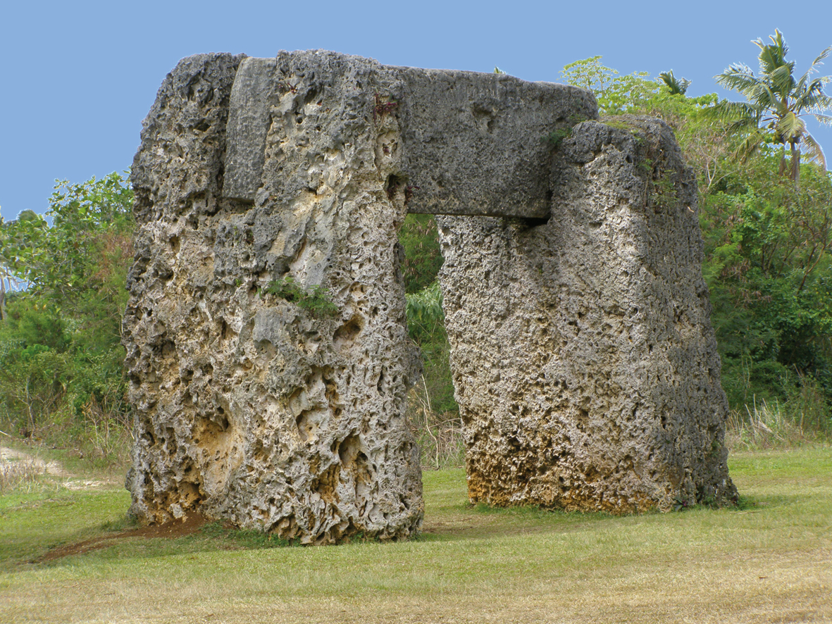
Ha‘among‘a Maui trilithon – Tonga
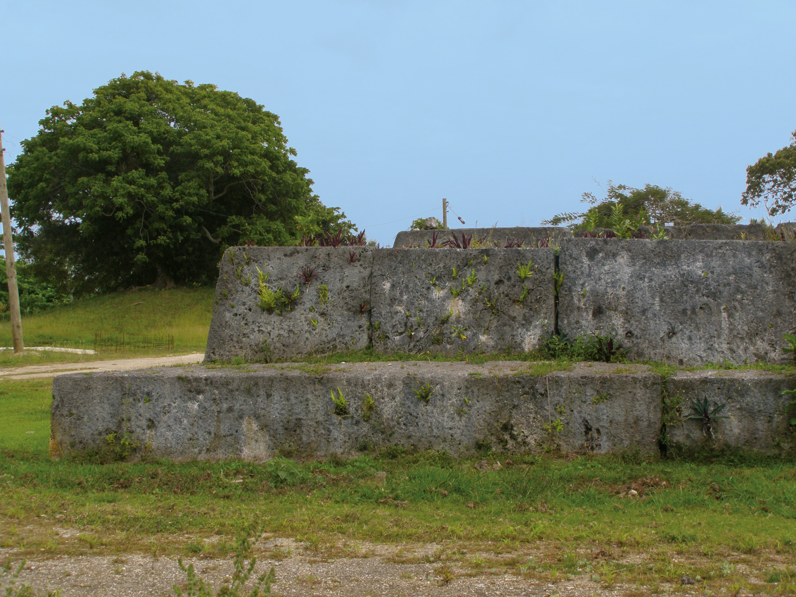
Megalithic structures can still be found above sea level on Tonga, such as the enormous trilithon gate, the large individual monolith and what various sources report to be between 22 and 28 “langi” (royal tombs), almost all of them located around Lapaha/Mu‘a, and four in Vava‘u and Ha‘apai.
The megalithic gate of Ha’amonga’a Maui is situated next to the village of Niutoua (near the former capital of Heketa) and is the island‘s most famous monument.
The mysterious trilithon, consisting of fossilized coral limestone, is made up of two impressive monoliths that weigh about 40 tons. They are 6 meters high and are anchored to a depth of about 80 cm in the ground; the western monolith therefore stands 5.2 meters tall. Today, at 4.8 meters, the eastern monolith is slightly smaller but both are 1.4 meters wide, 4.2 meters long and taper by about 50 cm towards the top. They stand 3.80 meters apart and mortises were hewn 2 meters deep in the tops of each upright stone to fit in the cross beam. This third block is almost 5.8 meters long, 1.4 meters wide and 0.6 meters thick. But for this structure, too, the builders, construction, transport and significance still remain unclear. The most common theory states that the monoliths were mined in the old quarries along the neighboring coast, as the rock there is soft and easy to shape at first but becomes hard as stone over the course of decades.
Its name, “Ha’amonga’a Maui”, can be interpreted in two different ways: “Burden of Maui” and “a stick with loads on both ends, carried over the shoulder”.
The old legends say that Maui (demigod of prehistoric times or god of the sun) elevated the Tongan islands from the bottom of the sea. He then obtained the three monoliths from Uvea (Wallis Island), carried them to Tonga in a giant canoe and used them to build a “portal for the gods”.
A more recent legend states that King Tu‘itatui built the monument to depict his two sons Lafa and Talaiha united through him (represented by the crossbeam). This was supposed to symbolize their equality as brothers and to remind them to rule united and peacefully after his death. This is why the trilithon’s time of origin has been determined to be 1200 AD, during his reign.
Today, Tongan history states that Ha’amonga’a Maui was a sundial marking solstices with the V-shaped mark and the two lines on top of the cross beam, indicating the seasons. The directions more or less match but critics say that the two 10-cm arms of the V are too short to be reliable indicators. They also argue that the island has settled over the past centuries, rotating the lintel by 5° and thus further increasing the divergence.
This is just a small excerpt from the book GAIA LEGACY.
10. OVALAU, Viti Levu (Fiji)
10.1 Landscape 449
– Geography 449
– Geology 450
– Climate 451
– Vegetation 452
10.2 Power place 453
– Names 453
– Geomancy 453
– Power point 453
10.3 Constructions 454
– Main structures 454
– Subterranean structures 454
– Temple structuresc 455
– Other structures in the region 456
10.4 History 462
– Historical history 462
– Finds 465
– Prehistoric history 466
– Builders and peoples 467
– Original purpose 467
– Legends and myths 468
10.5 Spirit 471
– Religions and deities 471
– Spirituality and transmissions 477