The Geographic Lines
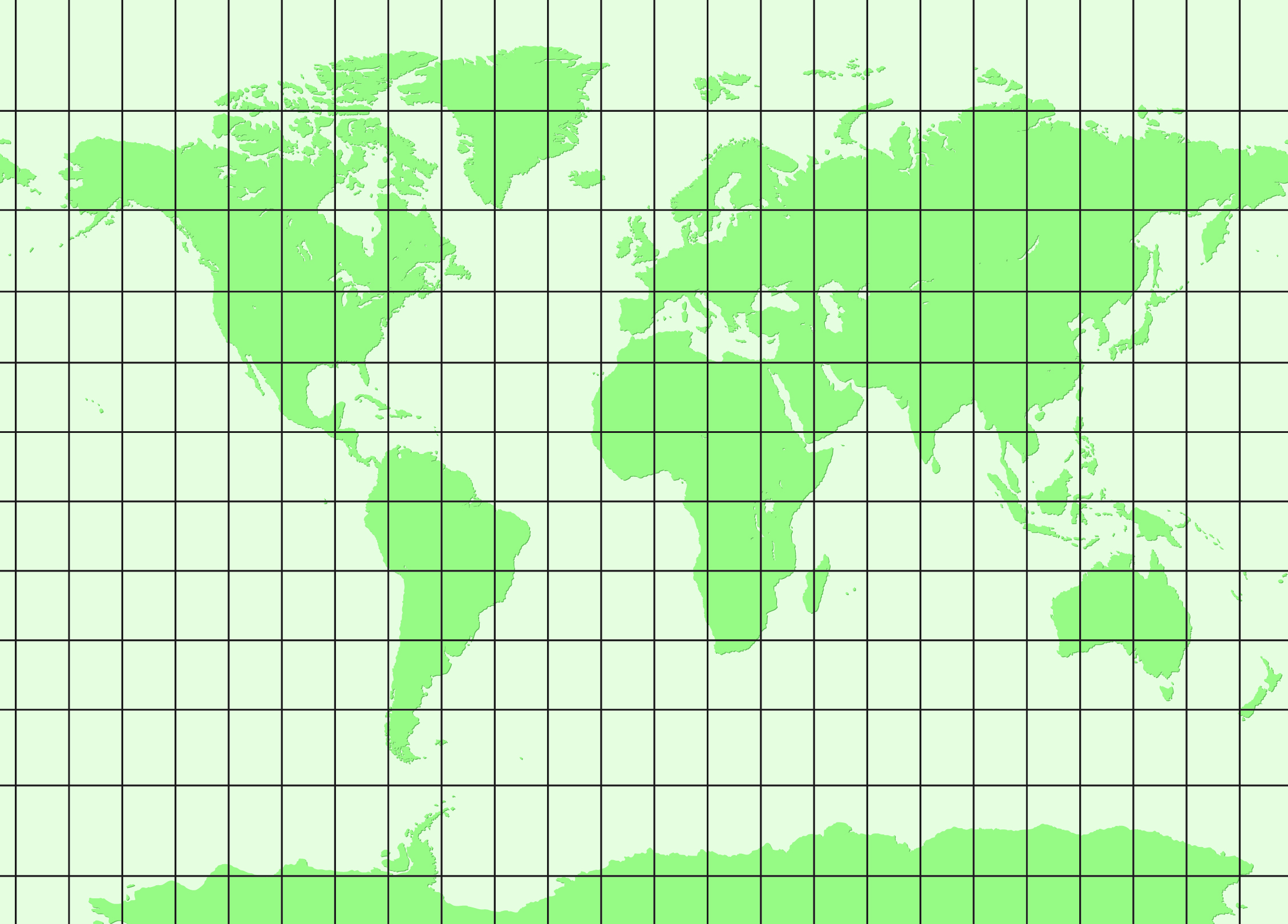
Most people remember the lines of latitude and longitude from geography class at school. But this grid is a theoretical set of coordinates designed to organize the earth’s surface. It allows every point on earth to be described geographically with a degree of latitude and longitude.
The 360 latitude lines run through the North and South Poles, which lie at 90° north and south, respectively. They are counted from an arbitrarily determined zero meridian up to 180° east and west. At the beginning of the 20th century, different zero meridians were used, such as the Paris Meridian or the Ferro Meridian at El Hierro. The meridian through Greenwich near London has come to be globally accepted. The 180 longitudinal degrees run parallel to the equator and are counted from there. A sexagesimal system is used to indicate the exact geographical coordinates between them; one degree of latitude or longitude is broken down into 60 minutes, which is, in turn, broken down into 60 seconds.
This is just a small excerpt from the book GAIA LEGACY.